About
The Outpost is where I share my journey of mapping the world. As an aspiring land surveyor, I write about what I learn, hoping to share this knowledge with others. I also explore new places and create 3D models, meshes, and maps with my drone.
What sets The Outpost apart?
At The Outpost, our mission is to provide bespoke and detailed surveying products that go beyond the standard AutoCAD file and plat. While we embrace traditional methods that produce lines and bearings, we also incorporate 3D models of features, meshes, and ortho-imagery of the area. We deliver our product through an interactive web application, allowing you to view your map easily, and all of the data will also be available for download.
Who am I?
Creating maps has been both my hobby and profession for about 10 years. My journey began with studying Geographic Information Science at Oregon State University. After studying Computer Science at Portland State University, I sought to apply my programming skills to a field I am passionate about. As a child, I collected and poured over road maps, which naturally led me to pursue GIS. A piece of advice I embraced was that software engineering is a rewarding career, but it becomes even more enjoyable when you apply it to a domain you love.
After completing my education, I joined SpatialDev, a GIS software consulting company based in Seattle, WA, where I specialized in building interactive web and mobile applications. Later, I had the opportunity to work at Apple Maps, where I worked with OpenStreetMap data, editing and integrating it into Apple's global map. I also worked in developing their internal map editing application, utilized by map editors and analysts at an industrial scale. My experience has allowed me to dive deep into the world of map data, including human-driven editing, automated topological correction, and data conflation from various sources.
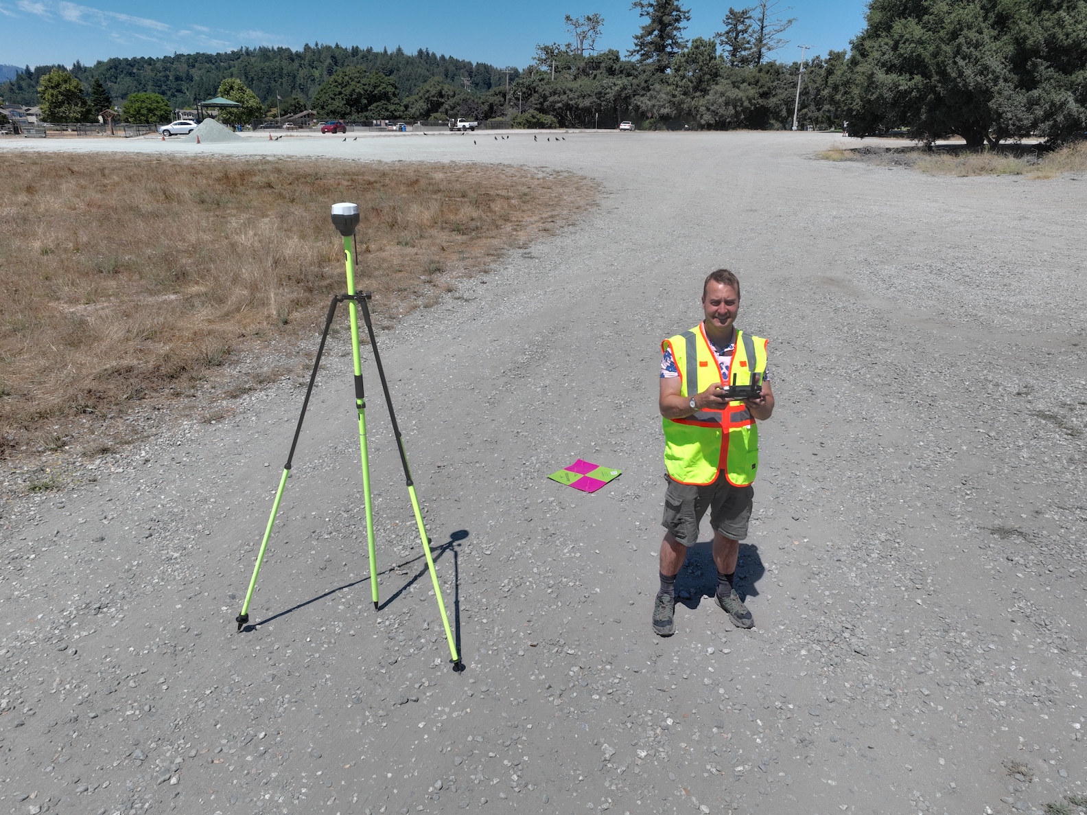
I am an FAA licensed Remote Drone Pilot (Part 103), as well as a certified GIS Professional (GISP). Currently, I am enrolled in the University of Maine's Survey Engineering Technology program, where I am working towards becoming a licensed land surveyor.
Learn More
Why is surveying important?
After having worked on building a map of the world, I have come to realize the importance of becoming a licensed land surveyor.
If anything is to be built on land, a survey is required. From this, we need a high level of precision and confidence, because all future decisions and action on that land reference the survey. A smaller scale map does not necessarily need the same precision. The focus is instead on the map and road network as a whole, with quality routing, cartography, and coverage. There are many sources of input, and a survey is the most authoritative source that can be used. This notion interests me.
Also, as I grow older, I desire to spend more time outdoors. I like to explore places that are unknown to me, and a survey documents previously known observations. For me, being out in the field augmenting these observations is my favorite activity.
The meaning of "correct" in a map depends on its purpose. For instance, it may be acceptable to use OpenStreetMap data that is off by a meter for auto navigation. However, when it comes to construction, such as paving a road or building a bridge, precise location of stakes become critical. Construction projects demand meticulous attention to detail and accuracy, and this is where land surveying plays a vital role. To ensure the success of such projects, someone needs to be out in the field, making the necessary measurements.