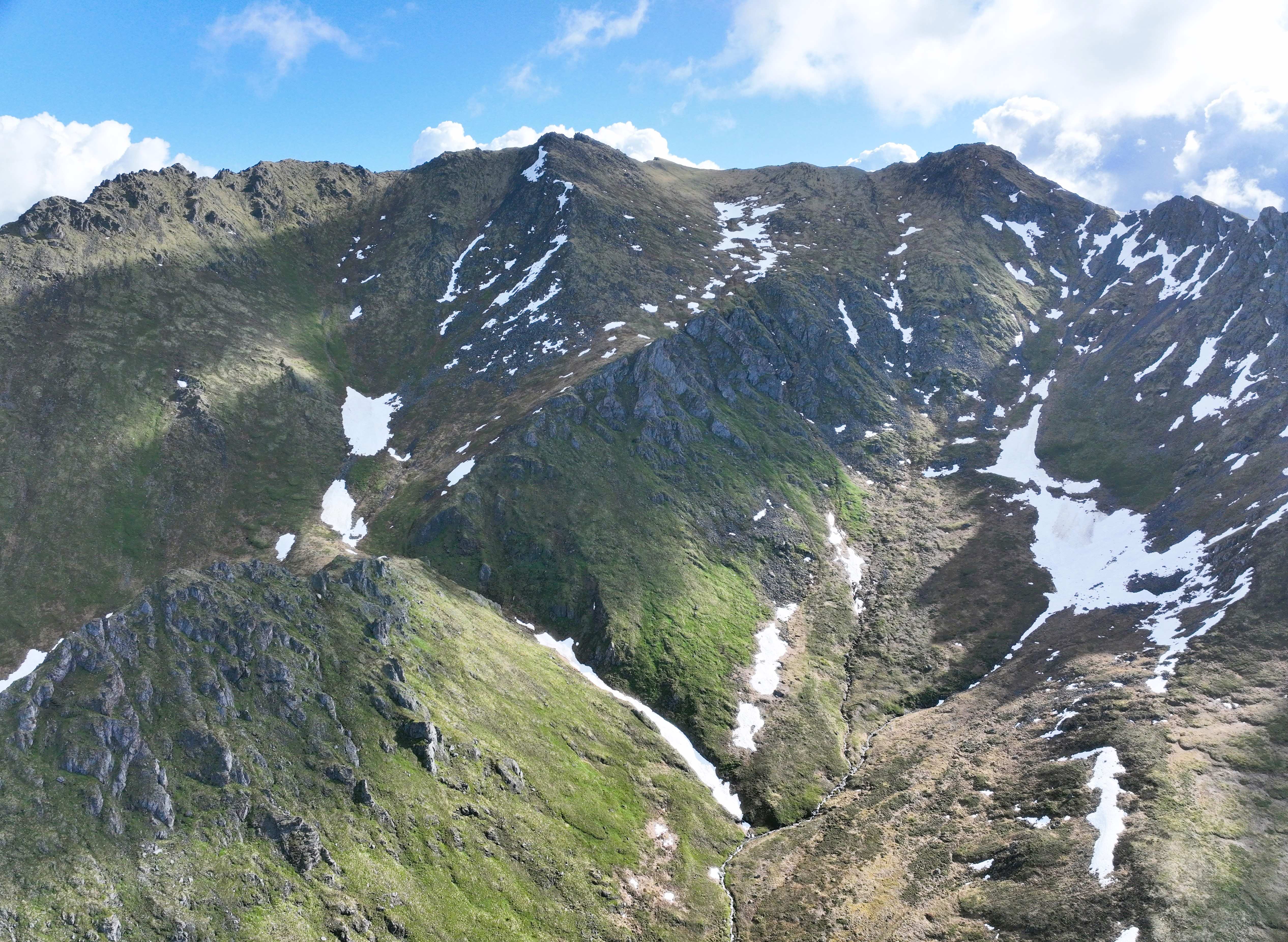
Perhaps the most majestic portion of the Dempster Highway is Tombstone Territorial Park. This section traverses the Ogilvie Mountains, providing views of jagged peaks.
I stopped here to practice flying over a larger area with steep topography. This rest stop was a good place to relax, eat breakfast, and take in the scenery.
We saw plenty of wildlife in Tombstone, including a Moose!