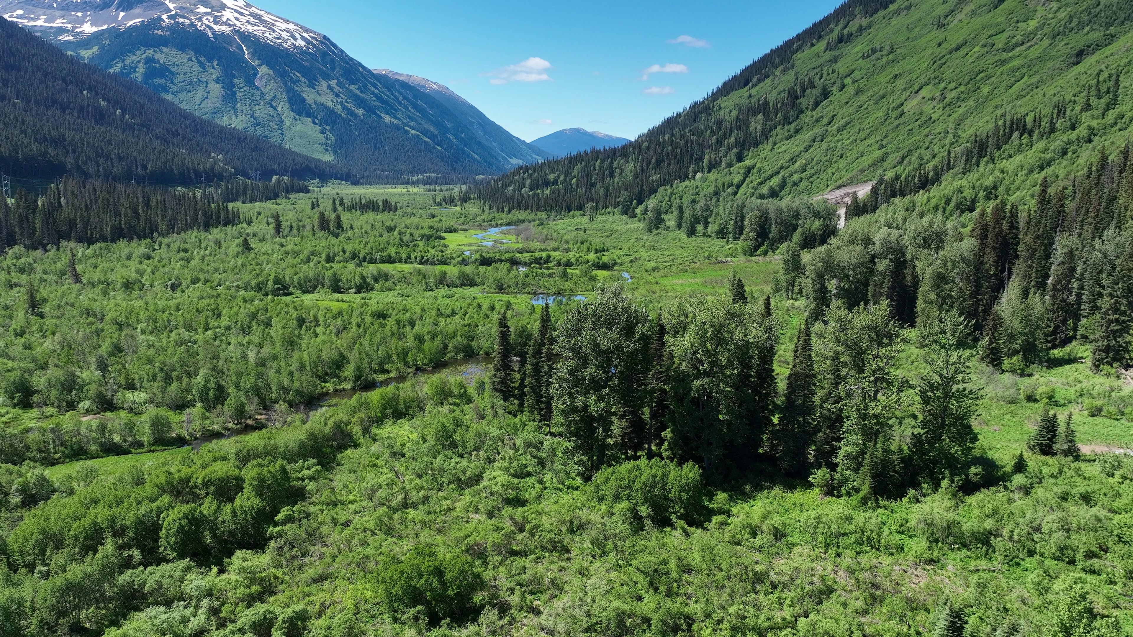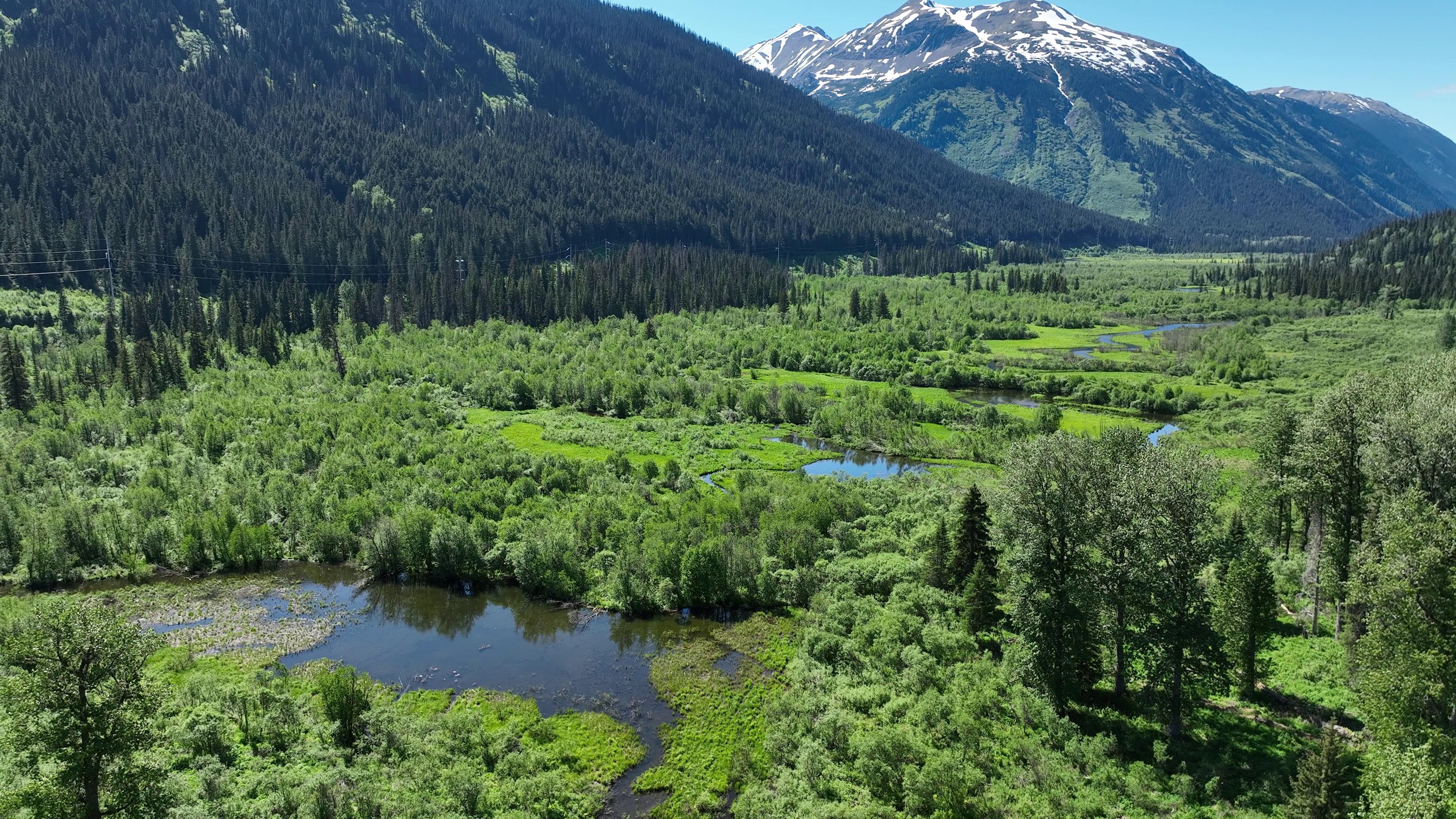
I marked this location as a POI when planning the trip when I spotted a beaver dam on the NRCAN Topo. This area was quite grand. Next to Ningunsaw Provincial Park, Beaverpond Creek flows through a lush valley. This area is in the Coast Mountains that trail the western edge of much of North America—California to Alaska. From here towards Alaska the peaks increase in height and become more heavily glaciated.