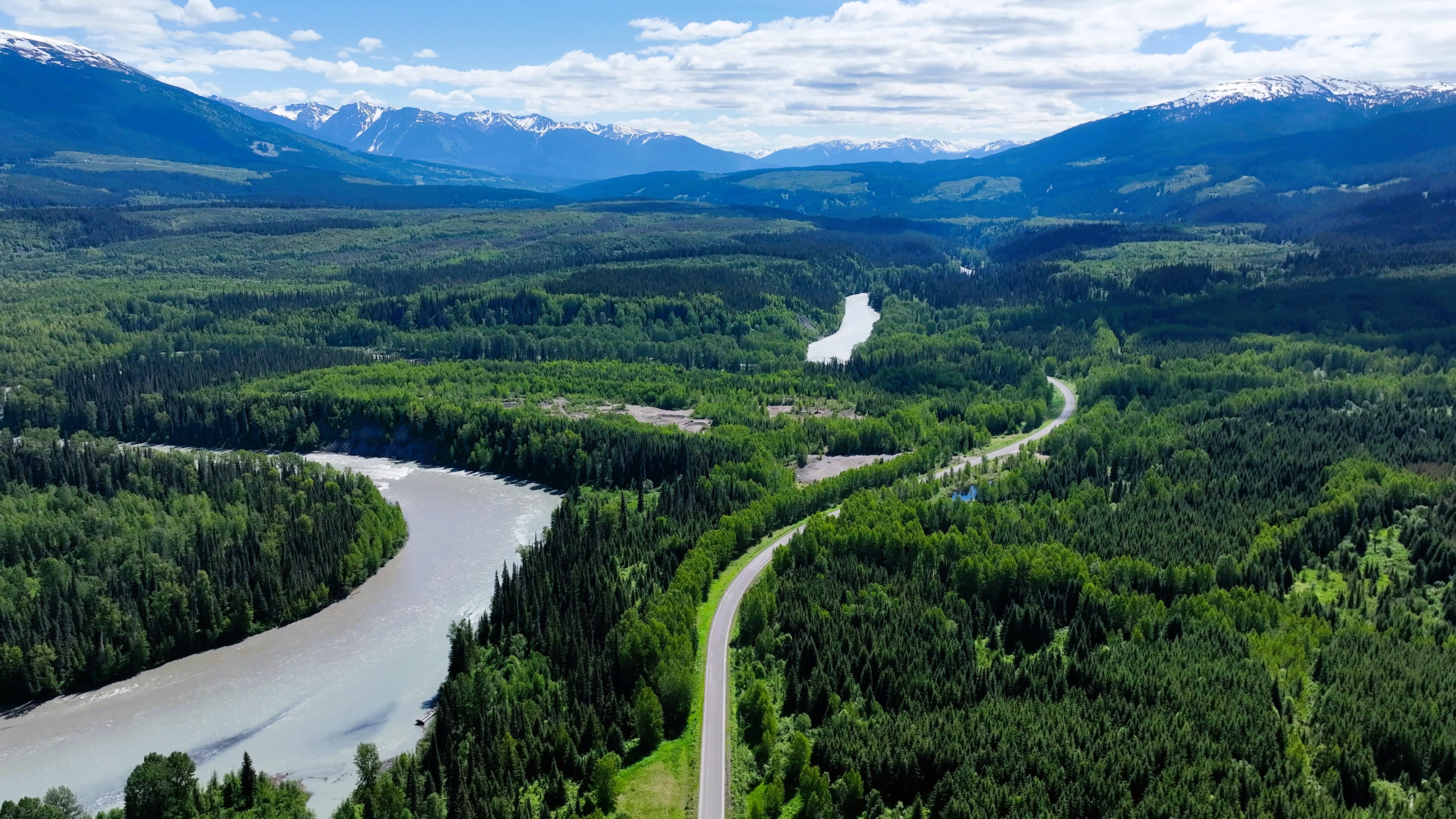
This is one of the first maps I made on my 2023 Tuktoyaktuk Road Trip. This place was chosen at random, and it simply seemed like a nice spot along the Cassier Highway. I simply wanted to get started flying my drone and explore what was out there.
I was near the Bell-Irving River, though I did not include the river in the map. I was just getting strated on my trip, and this was essentially a warm-up session.
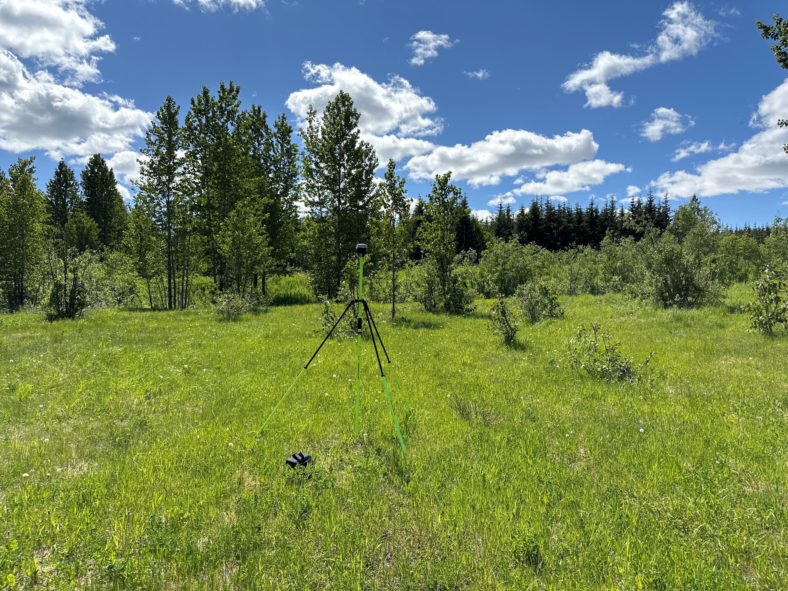
This is what the Emlid RS2+ base station looks like set up in the bush.