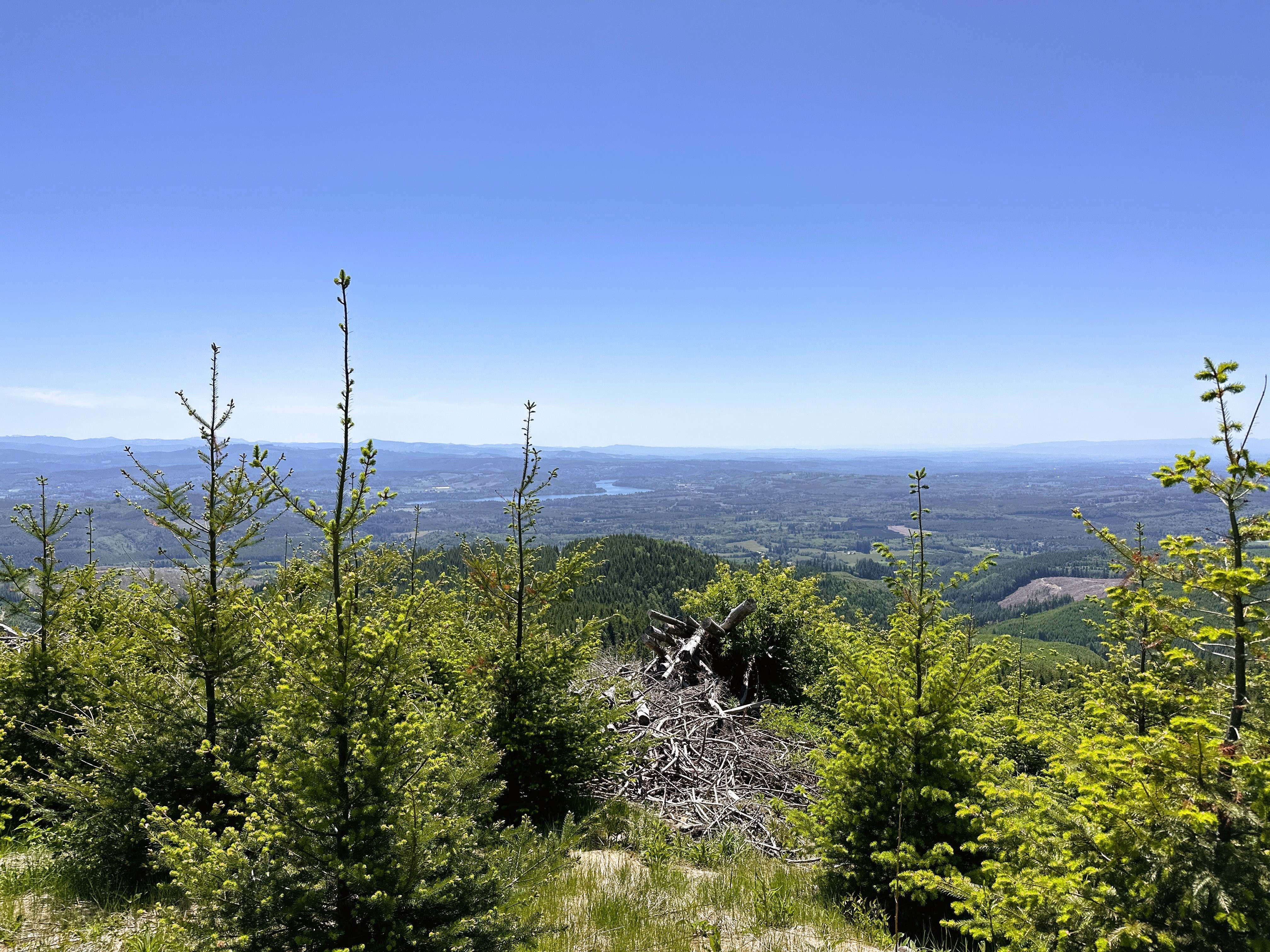
This is the first map I made on my 2023 Tuktoyaktuk Canada Roadtrip. For the most part, my goal was to drive through the United States as quickly as possible, however, the forests used for timber harvest in Washington are always interesting to visit. The contrast between clear-cut wasteland and lush forest is stark and interesting to see.
The base station was connected to a geodetic base station via NTRIP, so we have both centimeter accuracy and precision for the ground control points.