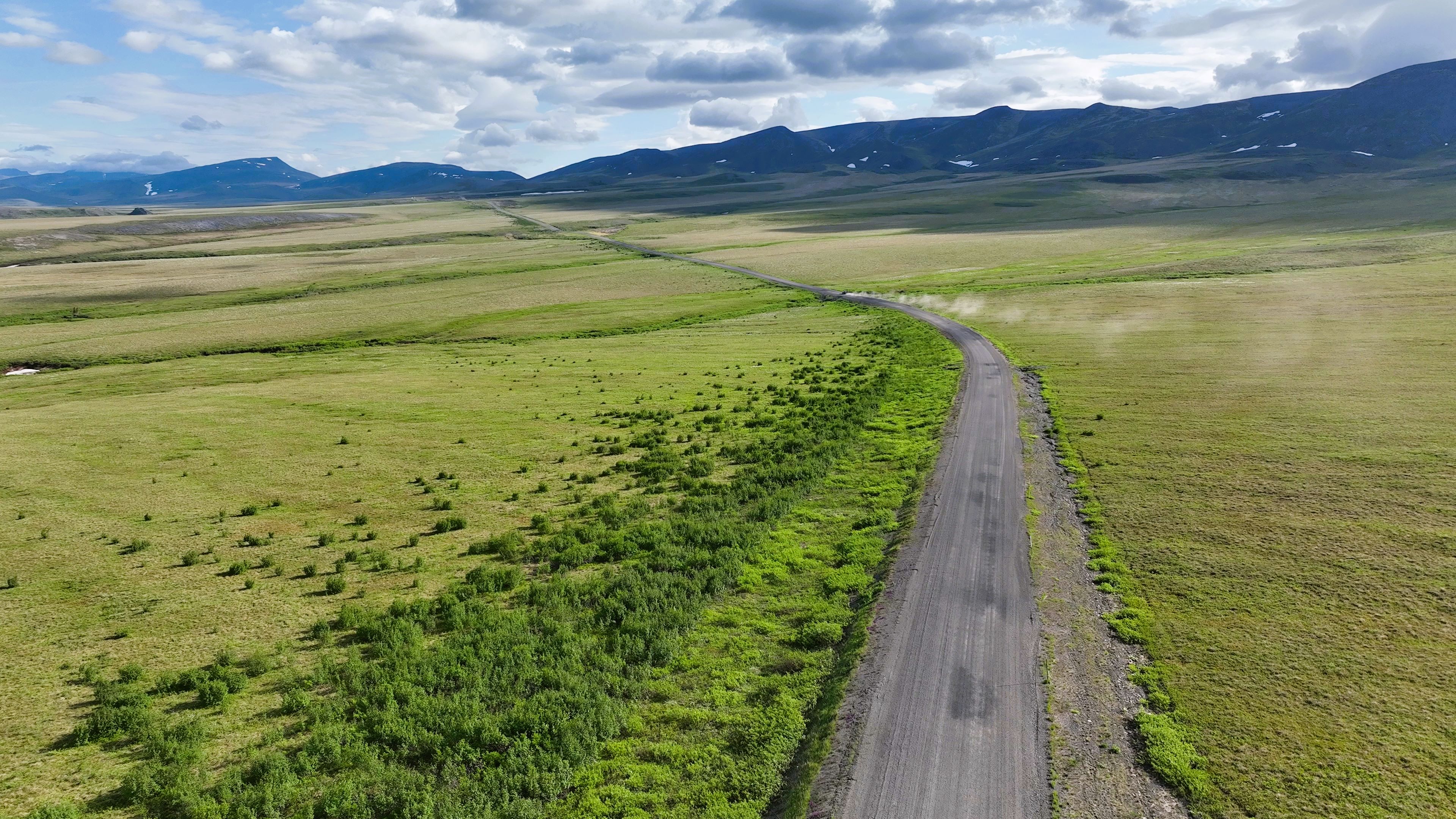
Here I experiment with mapping a long stretch of roadway using the “Corridor” flight plan in DJI Pilot. The goal here is to cover a long portion of roadway and see how far I can get with my rover from the base station using the LoRa connection.
The base is not fixed to any NTRIP, but I did average points for 20 mins. The rover, however, connects to the base via the LoRa radio, and this provides precision, which is more important than accuracy in this context.
I can easily get about 5km of distance from the base. The signal goes far, and it is typically hills and other obstructions that limit the range.
This area was windy, and there were still occasionally patches of snow in mid-June.