Of all of the roads I traveled on during my 2023 roadtrip to Tuktoyaktuk, the Campbell Highway was the wildest and most remote. Only hard pack, it is in a similar condition to the Dempster Highway, though there are far fewer travelors. If I am ever able to return to the Yukon, I will want to focus my attention on the Campbell.
Initially I wanted to map the nearby Frances Lake, but there were several campers there, and I did not want to disturb them with my drone. There I met a guy who works as a foreman at a mine near Faro. He was waving around a strange device that looked like a pistol, but it was actually a satellite phone. He was on the shore of the lake, saying that this area has better clearance for reception. He had a boat at his campsite, and he mentioned that the fishing is very good there.
A few miles North up the road I found a turnoff that leads towards the Finlayson River. I was surprised to see several cabins along the way, with one that appears not abandoned. There is a sign by the door that says “Kitty’s Kabin”. It looks like noone has been there recently—perhaps it is primarily used during the winter months? It is beautifully built, and it reminds me of the cabin Dick Proenneke built. The photo I included is of an abandoned cabin nearby, as I am pretty sure “Kitty’s Kabin” is still in use.
The road got very muddy towards the river, so I did not get all the way there. If I did, I bet the fishing would have been phenominal. Maybe next time!
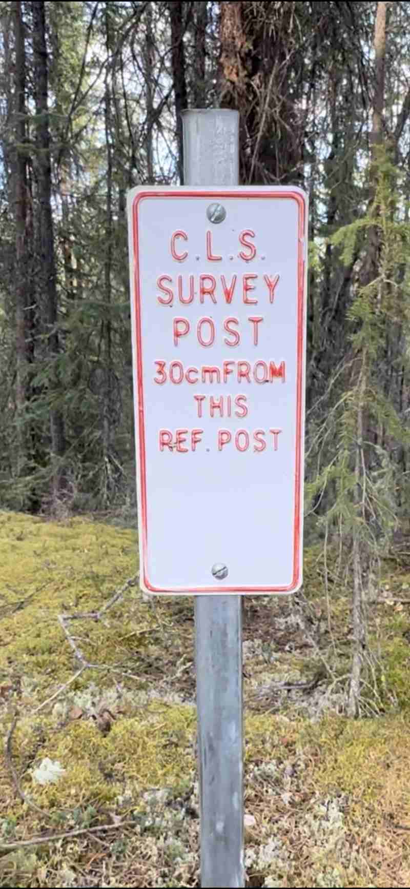
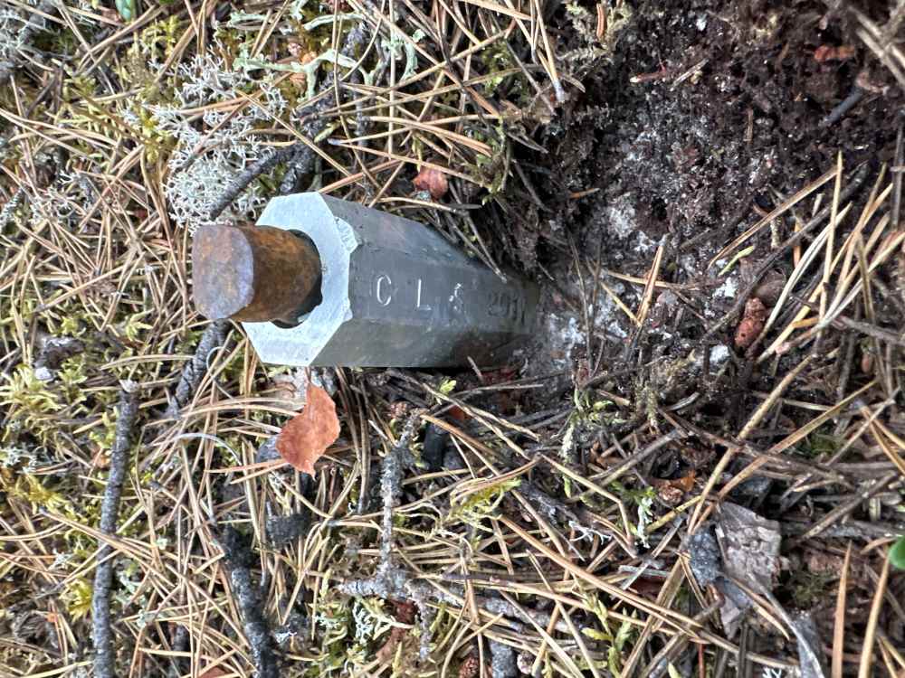
Near the abandoned cabin, there was a survey post. Interestingly, a sign was placed next to the post to make the location very obvious! Is this to help along the next surveyor?