Sky Park is one of the larger parks in Scotts Valley. It is named “Sky Park” because it formerly was an airport. Though in poor repair, the runway is still quite visible. It originally was created for the purpose of training pilots under terms of the G.I. Bill. It gained infamy when Steve Wosnik crashed his Beechcraft Bonanza A36TC on takeoff for a flight to San Diago on February 7, 1981.
It is a popular area for flying drones and radio-controlled aircraft, and I plan on using this area to practice my drone and photogrammetry skills.
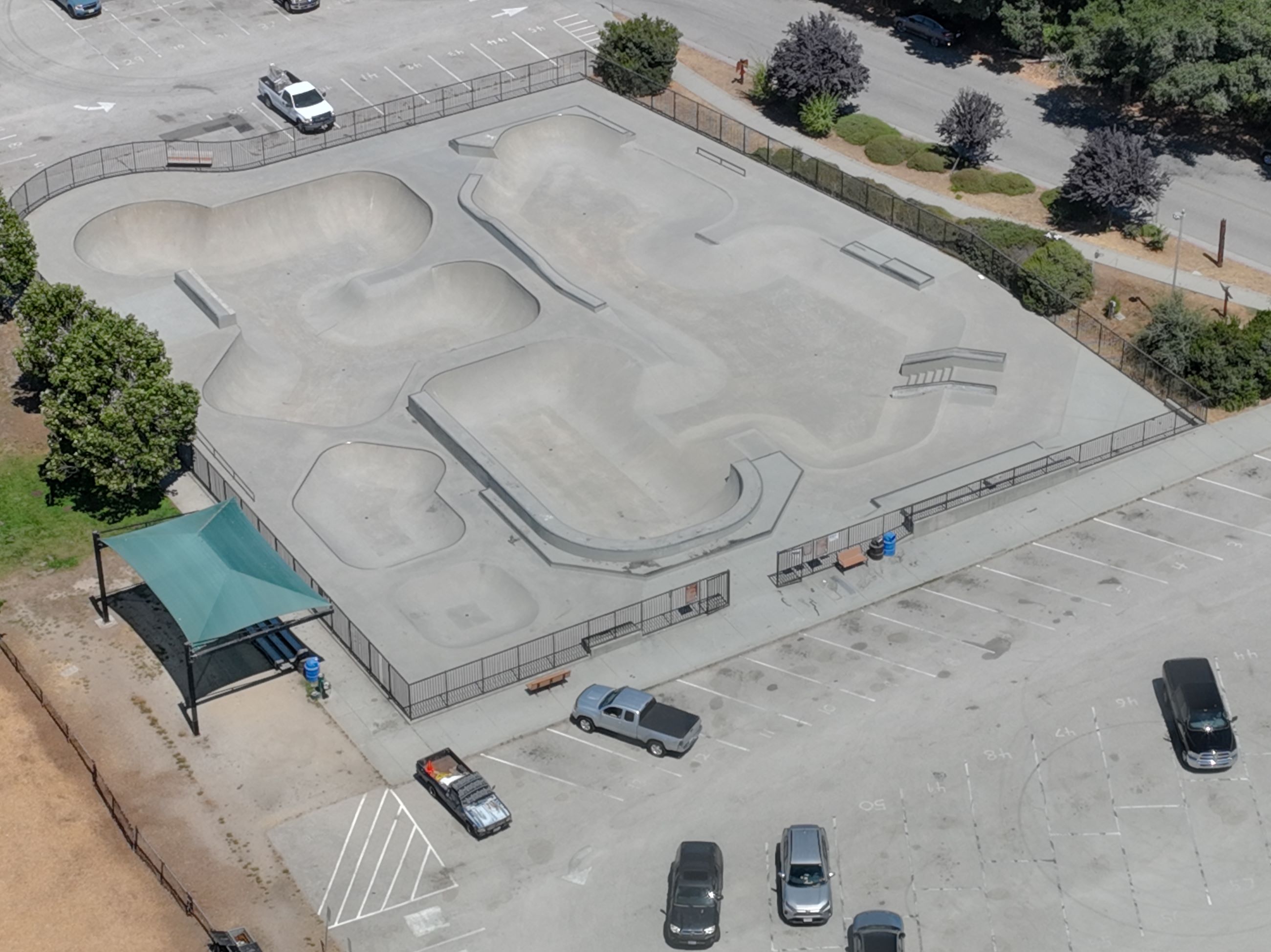
One key feature that is interesting for photogrammetry is the Tim Brauch Memorial Skate Park. Also, this general area has a good mixture of different feature types—an open field, trees, commercial buildings, parking lots, sidewalks, a dog park, a skate park, trailers, etc. Each has its own challenge for modeling.
This initial mesh and ortho was created using Pix4Dmatic simply because this is the photogrammetry software I have used the most. I am learning the ins-and-outs of Agisoft Metashape, so you can anticiapte the next iteration of Sky Park to be processed using this software. It will be interesting to compare and contrast.