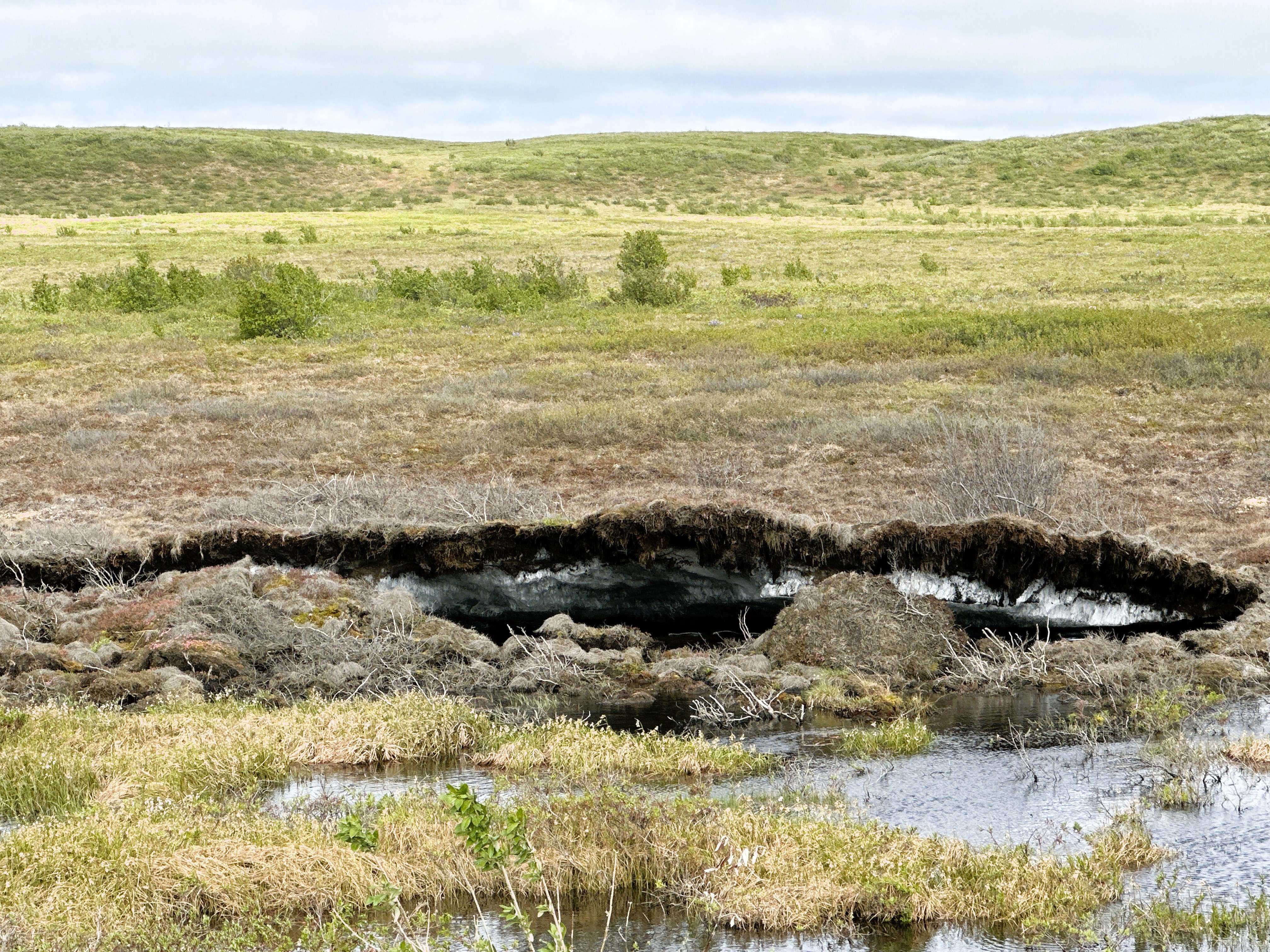
The Northern portion of the Dempster Highway has loose gravel, and the construction had to be unique. Because the ground is permafrost, the highway had to be built with an insulative layer, floating on top of the permafrost. If normal methods were used, the road would melt the permafrost, causing a swampy mess.
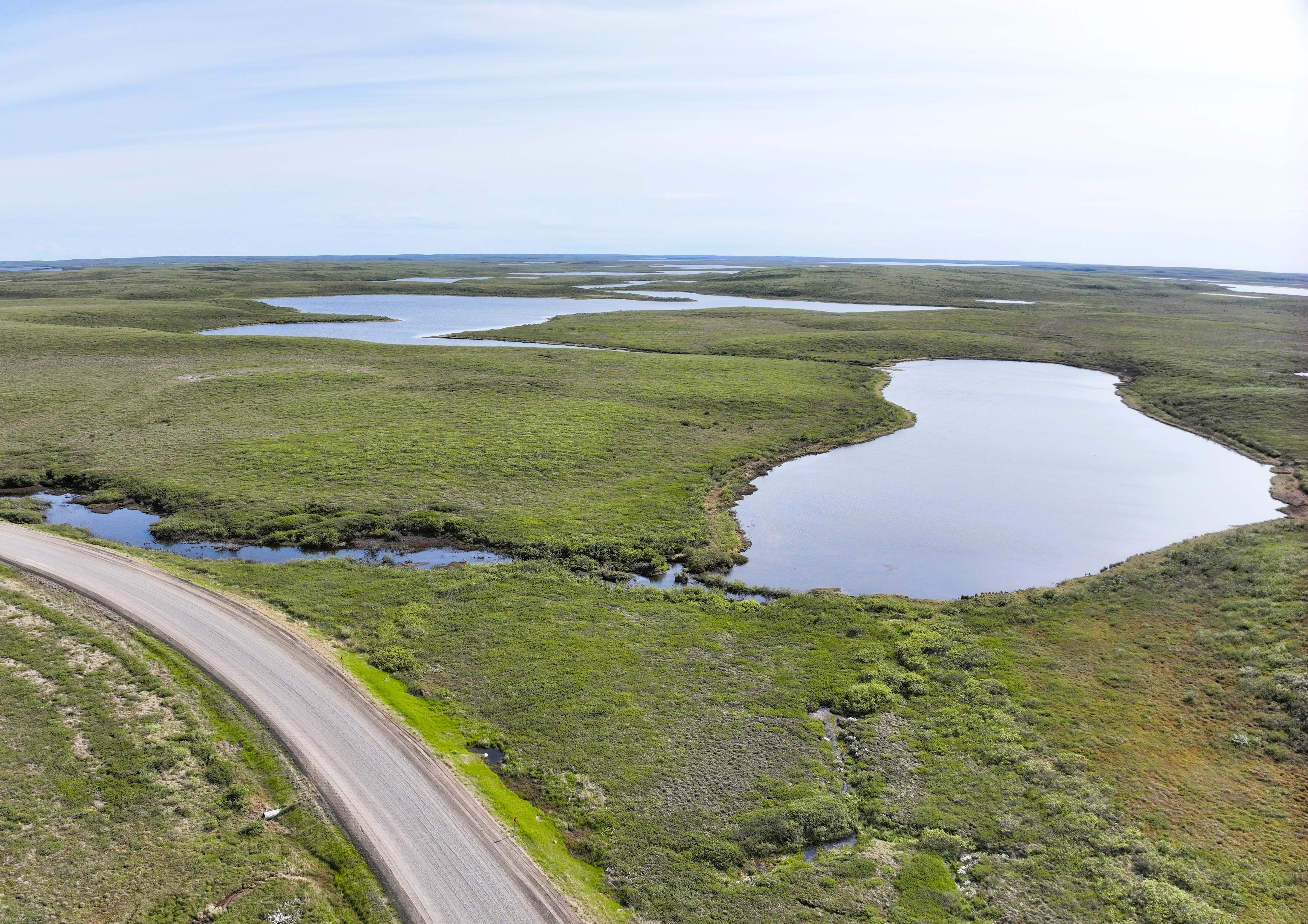
Past the mountains of the Yukon, the land becomes flat, dotted with millions of tiny lakes. Much of the time they are just meltwater from the winter’s snow. They are excellent breeding grounds for mosquitos and flies, and you will notice this easily during the summer months.
This is an attempt to map at least one of them with my drone.
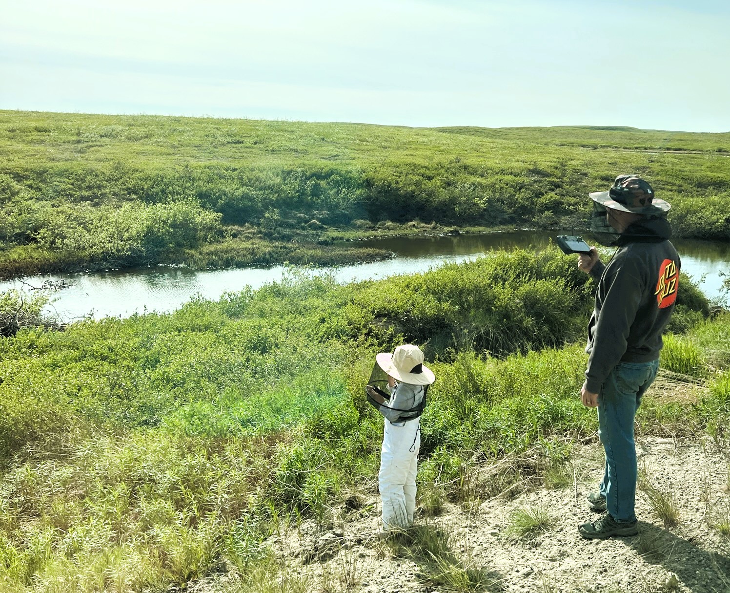
With our bug hats on, Opal and I spent 45 minutes exploring this area. Although only 4 years old, she is helpful with setting ground control points!
The 2D ortho-imagery looks good, but Pix4Dmatic has trouble building a point cloud for the center of the lake. When there are few defining discrete features within a texture, photogrammetry software can struggle.