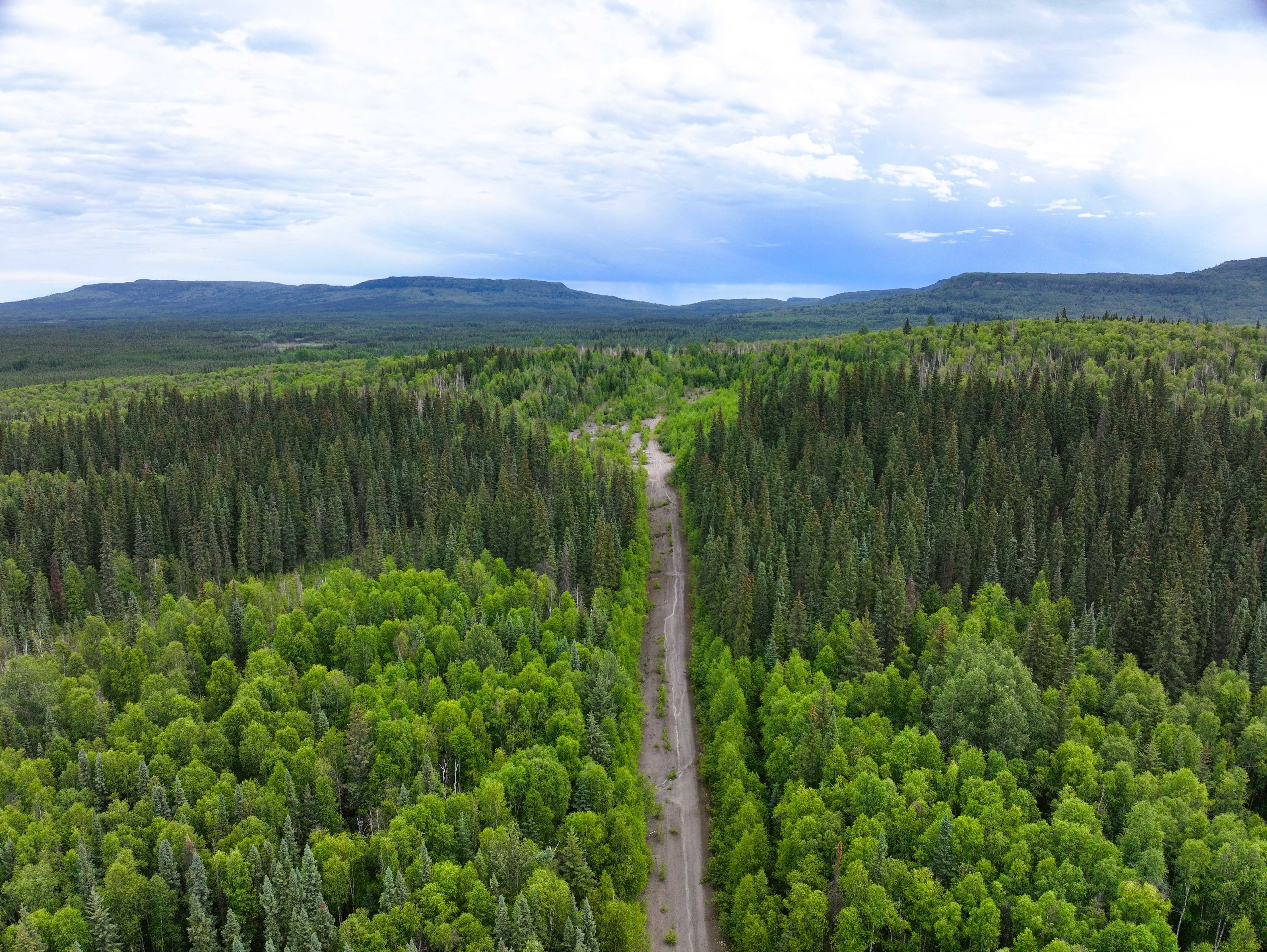
This is an unassuming stretch of the Alaska Highway south of Fort Nelson. There is not much notable about the terrain, and I wanted to choose a spot to map that is random.
If you look at the 3D map, you will notice that Pix4Dmatic has a difficult time reconstructing imagery of dense forest without defining features. The mesh is derived from a point cloud, and the point cloud is good along the roadways, but very sparse for the dense forest.